Lost City Marathon
22 Feb 2025

22 Feb 2025
The definitive source for all things race-related: everything you need to know before, during, and after race day.
Race Information
Find all the important practical information about the race.
Route & Elevation
Familiarize yourself with the race's elevation profile and route.

Results
Check here for current and past years race results.
Race Videos & Photos
Check out some spectacular moments from race day.
In order to register for the Lost City Marathon, all international runners must sign up for one of the tour packages.
Like all Albatros Adventure Marathons™️ the Lost City Marathon is designed to be more than just a race. It's also about enjoying time together with family, friends and other running-minded spirits. Spectators welcome!
Ways to Enter
Get details on international and local entrance options.

Accommodation
Check out the hotel options for your stay.
Packages
Lost City Marathon 2024: 9-Day Package
19 - 27 Feb | 9 days | 1490 USD
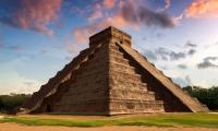
The best of Yucatan incl. Chichén Itzá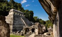
Lost City Marathon 2024: 5-Day Package
22 - 26 Feb | 5 days | 990 USD
4 nights in magical Palenque
Travel partners
The most comprehensive list of travel partners who offer the Lost City Marathon.
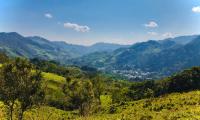
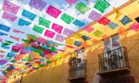
Take in the colors, the flavors, and the rhythms in one of México's most interesting corners.
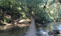
Lost City Marathon is more than just a marathon - it's a journey through jungle trails, river crossings, steep hills, picturesque ranches and small villages.
Excursions
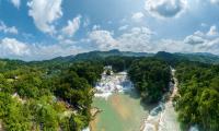
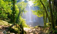
Misol-Ha & Agua Azul waterfalls
25 Feb | 5.5 hours | 85 USD
A trip to the wonderful waterfalls of Misol-Ha and Agua Azul
From history and culture to cuisine and customs, get to know to Mexico.
Travel to Mexico
Explore Mexico - read about its history, culture and geography.
Destination Guide
Find short and sweet answers to help you travel in Mexico - everything from currency to language and more.
Climate & Weather in Mexico
Check out what weather to expect on race day, as well as average weather in Mexico.
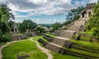
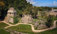
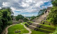
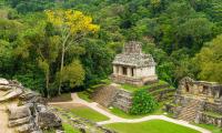
Photos of Palenque
Browse a collection of spectacular photos from the lost city of Palenque
Curious about other people's experiences or still have questions regarding the race, booking, or traveling?
Reviews
Read the thoughts of runners who have experienced the magic!
The one-stop shop for all your media-related needs.
Blog
Read our stories and get inspired.
Media Resources
Check here for press guides, media galleries, and contact information.
Partners & Sponsors
Read here about our wonderful sponsors, partners, and suppliers - and how you can be one of them.
Route & Elevation
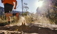
The Lost City Marathon will test your trail running skills. Be as prepared as possible to conquer the race with info about elevation and route.
The Lost City Marathon features two distances:
Full marathon - 42.195km/26.2mi
Half marathon - 21.1km/13.1mi
Route and elevation maps available soon!
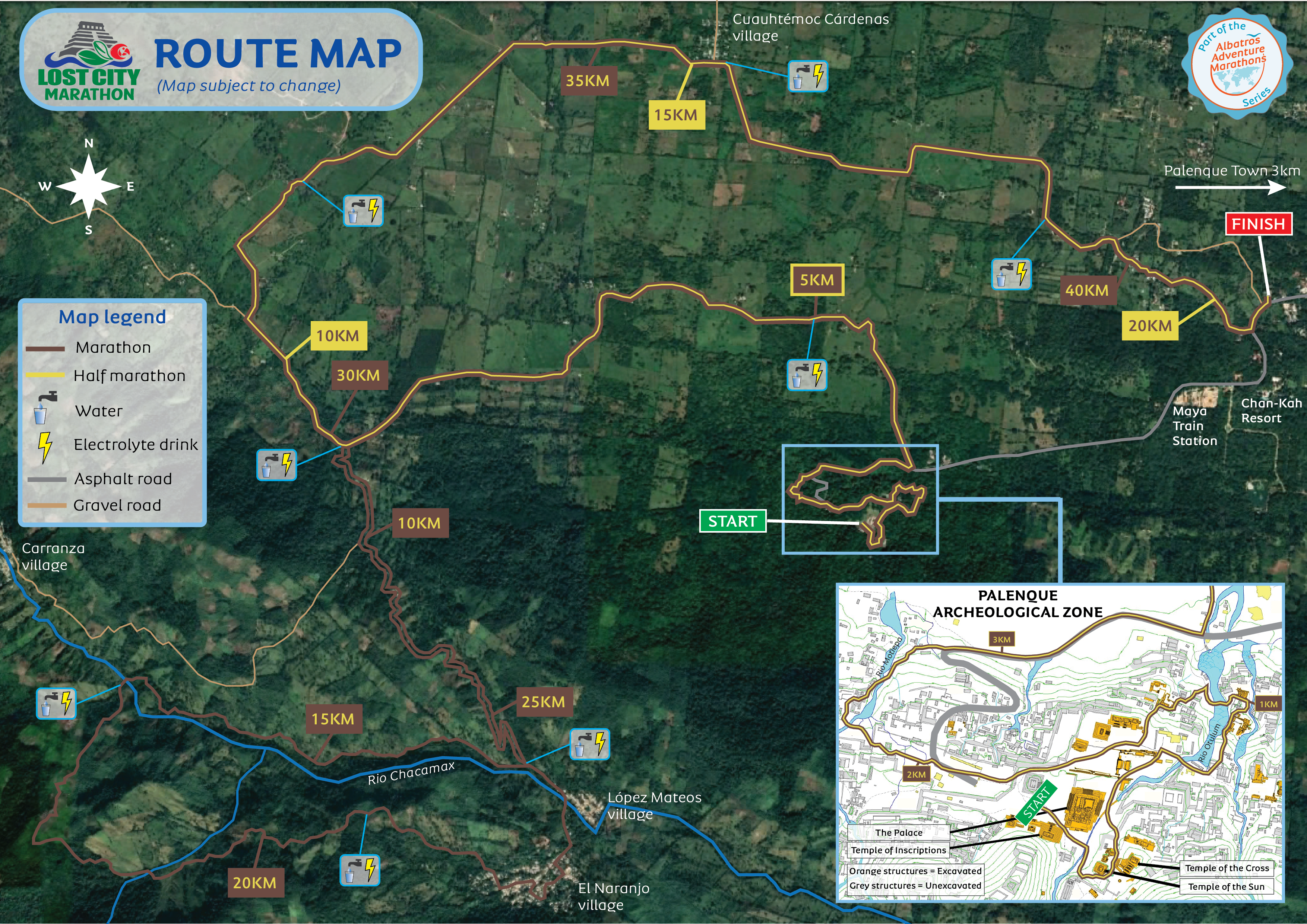
Route map
Route Description
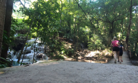
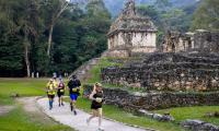
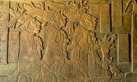
Starting at the Archaeological Zone of Palenque, the race takes you past remnants of the ancient Maya city and guides you along lush jungle trails.
After 3km the route transitions to an asphalt path leading downhill until it takes a left turn onto a gravel road. Continuing for a few more kilometers, the route approaches the foothills of the mountains, where it begins to ascend gradually.
Half marathon runners take a right turn for a nice relatively flat loop on gravel road around picturesque ranches and past the village of Cárdenas, which leads them to the finish line.
Marathon runners keep ascending the mountain towards the village of El Naranjo, but just before reaching the village the route breaks of from the gravel road and ventures onto narrow trails leading further into the mountains and the lush jungle.
The river Chacamax is crossed a couple of times and some very intense hills must be climbed.
After roughly 10 kilometers on mountain and jungle trails, the route takes the runners into the village of El Naranjo. From here on, the path is more or less downhill leading to the intersection where the half marathon runners previously branched off.
Marathon runners will now also run the loop around the green and lush ranches to finish in the same place as the half marathon runners.
Please note:
Do not forget that this is first and foremost an adventure. We are far away from comforts of home and this makes it impossible to offer services at the same level usually provided in city marathons.
Route Logistics
The route is marked with arrow signs, orange trail marker flags and kilometer markers. At crucial sections red & white danger tape and/or race crew will point runners in the correct direction.
Kilometer signs are color-coded according to the distance they represent.
Marathon = black
Half-marathon = red
Water stations will be positioned along the route at approximately every 3,5-4 kilometers. All stations will serve clean mineral water and electrolyte drinks (elderflower flavor). Bananas will be served after approximately 30km for the marathon.
Please see the route map for aid station specifics.
Start / Finish
The marathon and half marathon have start and finish in the same places.
Start at Palenque Archeological Zone.
Finish at La Chiapaneca restaurant.
Surface
The route is mainly run on gravel road with a few short parts on asphalt and a stretch on the Sendero Motiepa trail.
Marathon runners will also have approximately 10 kilometers on narrow mountain trails through jungle forest.